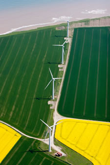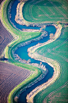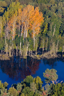


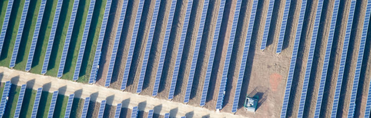
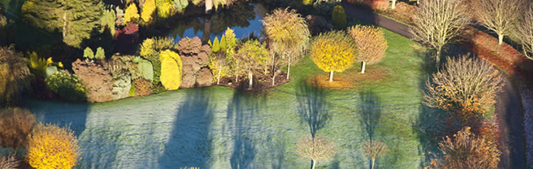


Environment
Air Photo Services provides interpretation of aerial imagery, mapping products and consultancy services for Environmental Impact Assessments (EIA’s), land-slip and stability surveys, palaeo-hydrological surveys, waste management issues and flood risk analysis. We have undertaken pollution detection and contaminated land surveys, agricultural, rural and urban landuse surveys, hedgerow and habitat mapping, forestry management appraisals and landscape categorisation surveys for heritage purposes.
Our products range from appraisal and survey over a single site to design and management of major Imagery Analysis projects, personnel selection training and supervision and integration with other disciplines.
We have recently supplied geo-referenced interpretations of aerial imagery, including Lidar, as GIS files to the UK Environment Agency, The National Trust and several UK Local Authorities.